Sunday, February 22, 2015

Quick dam ramble @ Vickery Creek


   Just a quick visit to Old Roswell Mill / Vickery Creek to practice camera settings . It turned out to be a very pleasant surprise . A gentle slope with a few stairs led the way down to the dam . There was a good flow of water which usually makes for decent pics .


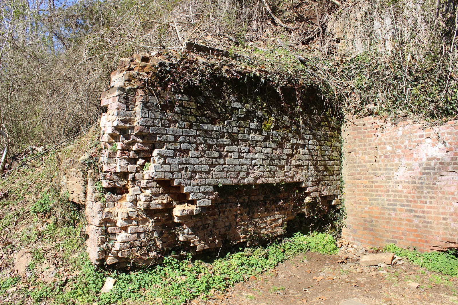
   There are a lot of remaining brick and stone walls and foundations to shoot all up and down the pathway .


   Waterways and machinery make for interesting subjects even through the fencing . At least they didn't use chainlink which makes getting pics difficult at best .


   The dam and spillway had almost a foot of water going over them and looked impressive . I have to figure out how to capture the rainbows coming from the mist around the dam .


   I was trying to get the little dust devil like spot of water going over the dam as the wind was pushing it back up over the top . In person , it looked pretty cool .


Trying to figure out some of the artsy fartsy settings on the camera . Notice I said trying .


   There is a great little picnic area with benches , tables , and a couple of grills by the creek . Pretty much abandoned midweek . This looks like a great place to bring kids , especially when it gets a little warmer where they can play in the creek .


   The lower building is being remodeled for meetings right now . 


You know you are in Roswell when you see the crown moulding in the very clean public restrooms . 


   The covered bridge going over Vickery Creek leads to some fairly steep paths that will take you upstream above the dam , or downstream to the Chattahoochee River . 


   All in all a very pleasant ramble . Close to home , quiet , and clean . Of course , as you can see , I still need a whole lot of camera practice , but what a beautiful area to practice in . FYI . The parking area was crowded but evidently most were at the ORM club . Very few people were using the park that day . 

Thursday, February 12, 2015

A quiet ramble in a noisy place

   Getting there can be a bit of a challenge , especially at the wrong time of day . Right in the heart of Cobb's dreaded places to avoid at rush hour , is this quiet place . Going through the construction at 41 S and the Chattahoochee , I had to make a U turn to get to the entrance to West Palisades . Once through the construction parking you come to the trailhead and boat ramp . The river kind of makes the noise fade away .


   Even walking under the I 75 bridge , you can block out the noise if you focus just right .


   A foot bridge allows you to keep your feet dry as you cross Rottenwood Creek . It appears that someone is starting a new /old tradition of  love locks . It will be interesting to revisit this in the coming years


  Just before crossing the creek there is a nice area with tables and benches in the early sun just waiting for lunch .


   The path going up Rottenwood Creek is not only paved , it is striped and marked with signage - KEEP RIGHT EXCEPT TO PASS- . I only had about a dozen folks pass me , but on a weekend I imagine the signs are necessary .


    Rottenwood was bigger and more scenic than I had imagined .


   I only went about 2/3s of the way up the hill by the office parks . Office buildings and power lines don't do much for me . However the STEEP GRADES  signs made me chuckle since they had put several ''whoop di doo's '' in the walk . Apparently for bikes and skateboards . Or grandkids's new Green Machines .


   Back down at the bridge , I took the up river path . Much , much more to my liking .


Looking across at the White Water Creek area of the CRNRA.


   They must have been generating at the dam because the river was up and running at a pretty good clip .


   Back at the parking lot I ran into the Ga DNR stocking truck and 2 of our finest . They had just stocked 2,300 12 -14'' brown trout and rainbow trout from the I 75 bridge down to the boat ramp .


   Seeing as how this is Atlanta , a little clarification may be in order . No , they are NOT that kind of brown trout and I don't know , nor do I care if the rainbows were representing .

  At least I am calm enough to face the traffic to get home .

Wednesday, February 4, 2015

Warwoman/Chatooga Ramble

   I really like this corner of the state but it takes me forever and a day to get here . In the neighborhood of 2 1/2 to 3 hours . Once you get to Clayton everything is fairly close .
  Becky Branch Road was gated so we headed over to the check station on Finney Creek Road . We figured the gates would be locked since deer season was over and we were correct . This little stairstep fall was right beside the road .


A short walk up the creek was this quiet little spot .


   The mountain views up here are incredible.


   The closed gates that were on the map didn't bother me . The gates that weren't on the map AND locked did. FS155 goes all the way through the WMA to the Sarah's Creek area . Of course the locked gate that wasn't on the map stopped us within about a mile of making it through . So we turned around . The spot we picked to turn around in was a little downhill and frozen over . But not for long . As soon as my tires spun it turned into slick mud . After 3 or 4 attempts it appeared we were stuck . No phone service ,no worries . We could walk out in 2 or 3 days . NOT !!! I dropped the tailgate and told Ron to sit on  it and not fall off . ( It's illegal to run over Yankees nowadays in Georgia .)  Now Ron claims he saved our lives from bears and slow starvation .


   On the way back a pair of elusive mountain grouse ran across in front of us . You rarely hear of them up here , much less see them . Life is good .

   We scooted across Warwoman Road  and headed down to Earl's Ford . After getting stuck earlier , I hesitated to cross the Chattooga Wild and Scenic River . So we did the tourist thing and oohed and aahed and talked trash about who would actually drive across . On a different day of course .


   As long as we were this far northeast we decided to slip into South Carolina on a bridge . While not as ''wild'' as the upper section . it's still pretty here .


   On the return into Georgia , I pulled off to check the map . Looking up I realized it was not a good place to stop . To my right was a pull off below road level by the river . Ron couldn't see it from his side and wasn't paying attention anyway . When I darted off the side of the road , he thought we had wrecked and were going in the river . I'm still laughing at his reaction .
   A couple of miles down Burrell's Ford Road is a bridge that goes back into S.C.


   Downstream is Georgia access,


   Upstream is S.C. access .


   It gets dark  early down by the river so we headed home having barely scratched the surface of this magnificent area .  When the weather warms up a bit ,I need to pull an overniter to give me more time to see the river rapids and waterfalls .